


Met have always been a leading company providing measured building surveys and this is still a major source of our work.
New equipment and techniques keep us constantly monitoring and evaluating our processes and training to stay ahead and ensure we offer the best and most cost effective solutions for you.
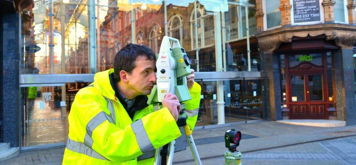
We often provide a combination of traditional methods, such as using total stations with palm top computers, alongside newer techniques like laser scanning. Laser scanning is ideal for use on sites where very detailed 3D measurements need to be recorded and accurate models created, or where access is difficult.
Now that BIM is required for many projects we are providing Revit models more frequently to clients as the final deliverable. However, some clients require us to provide point clouds and we are happy to provide these as a final deliverable or as supporting information to the Revit model.
Contact us to request a quote using the form below, or call us on 0113 200 8900 to discuss your requirements.
Services include:
Revit & 3D Modelling
Met Consultancy Group are able to provide 3D models of as-built buildings from Revit and AutoCAD for a variety of project requirements. Whether it’s needed within rights-of-light projects, redesigning existing buildings or to aid with asset management. We have a variety of experience in all of these areas and will use our existing survey skills to help realise them in the 3D format you require.
Floor, Ceiling & Roof Plans
Using a combination of up to date equipment, techniques, software and survey skills we can produce floor, ceiling and roof plans that are reliable, complete and of the highest accuracy. We use traditional methods and laser scanning. Often, roof plans can be constructed from ground observations where there is little or no access available. Safety is our primary concern when carrying out roof plans and in certain circumstances we can carry out high level photogrammetry from platforms or using UAV’s.
Elevations & Sections
A combination of experience, skill and technology ensures we deliver elevation and section data with speed and accuracy. All data is collected in 3D and can be provided to the client in a variety of 2D and 3D formats.
Laser Scanning
Laser Scanning is ideal for use on sites where very detailed 3D measurements need to be recorded and accurate models created, or where access is difficult. The scanner can be used externally or internally to capture existing information by measuring and coordinating many thousands of points per second for anything from mechanical plant rooms through to historical monuments and buildings.
Asset Survey & EPC
Met Consultancy Group specialises in designing bespoke surveys to capture asset and attribute data including Asset Surveys, Attribute Surveys and Building Information Modelling (BIM). In partnership with clients we will develop a specification then design bespoke solutions to simplify the collection, processing and dissemination of data for all involved. We are qualified and accredited EPC assessors.