


Met employ a range of utility mapping techniques, including electromagnetic locators, ground penetrating radar and CCTV inspections.
Our surveys are carried out in accordance with British Standards such as BSi PAS128, BS EN 13508 and industry guidance such as The Survey Association Guidance on Utility Mapping and the WRc Manual of Sewer Condition Classification.
Met’s Group Operations Director (Geophysics and Utility Mapping), Sam Roberts, worked with the British Standards Institute and Institute of Civil Engineers on the development of PAS128 ‘Specification for underground utility detection, verification and location’, and as a result we are able to offer clients an enhanced level of market leading expertise in the delivery of utility surveys to PAS128 specification.
Visit our PAS128 dedicated information resource here
Call 0113 200 8900 to discuss your project with our surveying or engineering team
Services include:
Desktop Utility Assessment
A desk-based assessment of utility assets present is the starting point for any utility investigation. Also known as a C2 enquiry (New Roads & Streetworks Act) or a Type D survey (PAS128), a desktop utility assessment involves the collation of all utility records from asset owners that may have plant present in an area. These records are presented in a report and can also be compiled into one drawing (CAD/PDF output available). A site walkover using a topographical survey can also be included to further improve on the accuracy of depicted routes (PAS128 Type C survey).
Utility Detection Survey
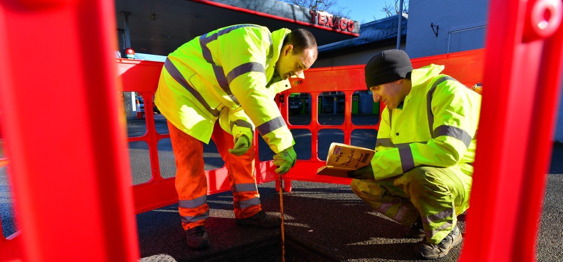
This is a Type B survey in the PAS128 specification. Our surveyors use a range of electromagnetic location methods, ground penetrating radar and visual inspection to provide utility mapping services to the highest standard. Our results are located using total stations and survey grade GPS to OS coordinates as standard, ensuring precise location. Our surveys are then presented in layered CAD models with an accompanying report ensuring you have all the information required to make informed, and safe, decisions on site.
CCTV Survey
Met Consultancy Group conducts CCTV surveys on drainage or other installations. This can be on older systems to establish condition or on new systems to confirm standards and specifications have been met. We can combine our investigations with other utility mapping services to provide a complete and cost-effective survey solution. All surveys are followed up with a comprehensive report including CCTV footage on DVD.
Drainage Survey
Our drainage engineers can map out the line and level of drainage routes using a range of methods, and provide detailed information on the nature and condition of these systems. We also provide drainage strategy proposals for planning applications, drainage design and flood risk assessments.
GPR Survey
We are often asked for a GPR survey to detect utilities. GPR complements other techniques but should not be used in isolation except in very specific circumstances. We will discuss your requirements with you and propose a survey strategy using the most appropriate techniques to meet your aims, so you can be confident you are always getting the most suitable tool for the job, and not just what’s in the back of someone’s van!
Culvert Survey
We have teams of confined spaces qualified engineers and surveyors who are experienced in culvert investigations. We will put together a methodology that will can provide measured survey and inspection of culvert structures in a safe and cost effective manner.