

Call 0113 2008 900
Call 0113 2008 900
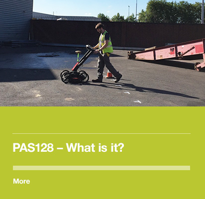
A New Standard for the Utility Mapping Industry
In excess of four million holes are dug in UK roads every year to repair utility assets, install connecting services or lay new cables and pipes.
Location records for older buried assets are often inaccurate or even non-existent leading to service disruptions, third party damage or injury, project delays and increased costs and, ultimately, reduced market confidence in final data integrity and the delivery of utility mapping services.
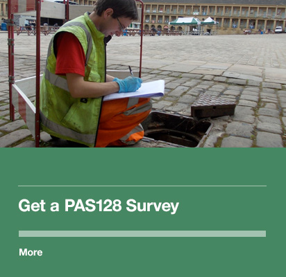
This web resource is provided by Met Consultancy Group and describes the basics of PAS128 and how we can fulfil its requirements. It is an independent resource and not associated with the British Standards Institution or the Institution of Civil Engineers. Met Consultancy Group provided sponsorship to develop the PAS128 Specification and our Director, Sam Roberts, acted as a consultee on the document prior to publication.
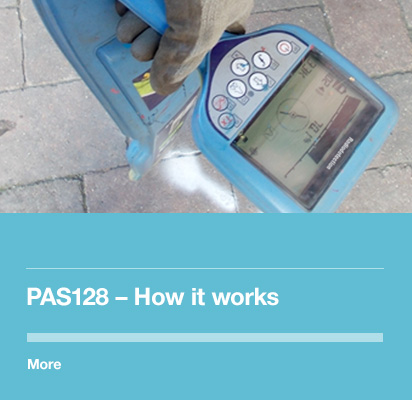
PAS 128 - Specification for Underground Utility Detection – establishes a standardised approach for the detection, verification and location of buried assets.
The Specification defines four survey categories that translate to different Quality Levels and represent the escalating compliance required to obtain greater levels of detail and accuracy in the final data provided, and thereby increase market confidence in the delivery of utility mapping services.

©2015 Met Geo Environmental Limited. All Rights Reserved.
