


In the first part of this series, we looked at the importance of beginning archaeological and heritage investigation with a good understanding of the existing evidence. Historic mapping, archive information, LiDAR, aerial photography and previous archaeological records can all tell us a great deal about a site.
Accurate spatial information underpins almost every archaeological and heritage investigation.
Our phased approach is:
A topographical survey provides a detailed record of the existing landscape and establishes the coordinate framework into which all subsequent archaeological information can be placed.
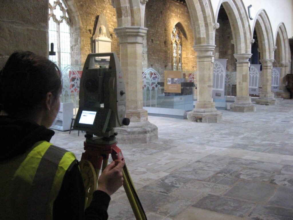
On some sites the archaeological value of the survey is immediately apparent. Subtle banks, platforms, hollows, ditches and changes in ground level may represent surviving archaeological earthworks that are difficult to appreciate from ground level but become much clearer when surveyed and modelled.
Modern survey techniques including GNSS, total station survey, laser scanning, photogrammetry and drone survey can all contribute depending on the site and the level of detail required.
LiDAR can be particularly valuable when looking at larger landscapes, where subtle archaeological features may extend far beyond the immediate development boundary.
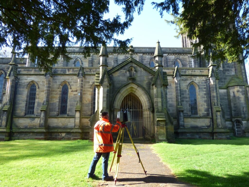
Not all archaeology lies below the ground.
Historic buildings, ruins, industrial structures, bridges, walls, monuments and other upstanding remains can themselves form an important part of the archaeological record.
Where these assets may be altered, repaired, conserved or affected by development, an accurate record of their existing form can be extremely valuable.
Traditional measured survey remains important, but technologies such as terrestrial laser scanning and photogrammetry now allow complex heritage assets to be recorded rapidly and in considerable detail.
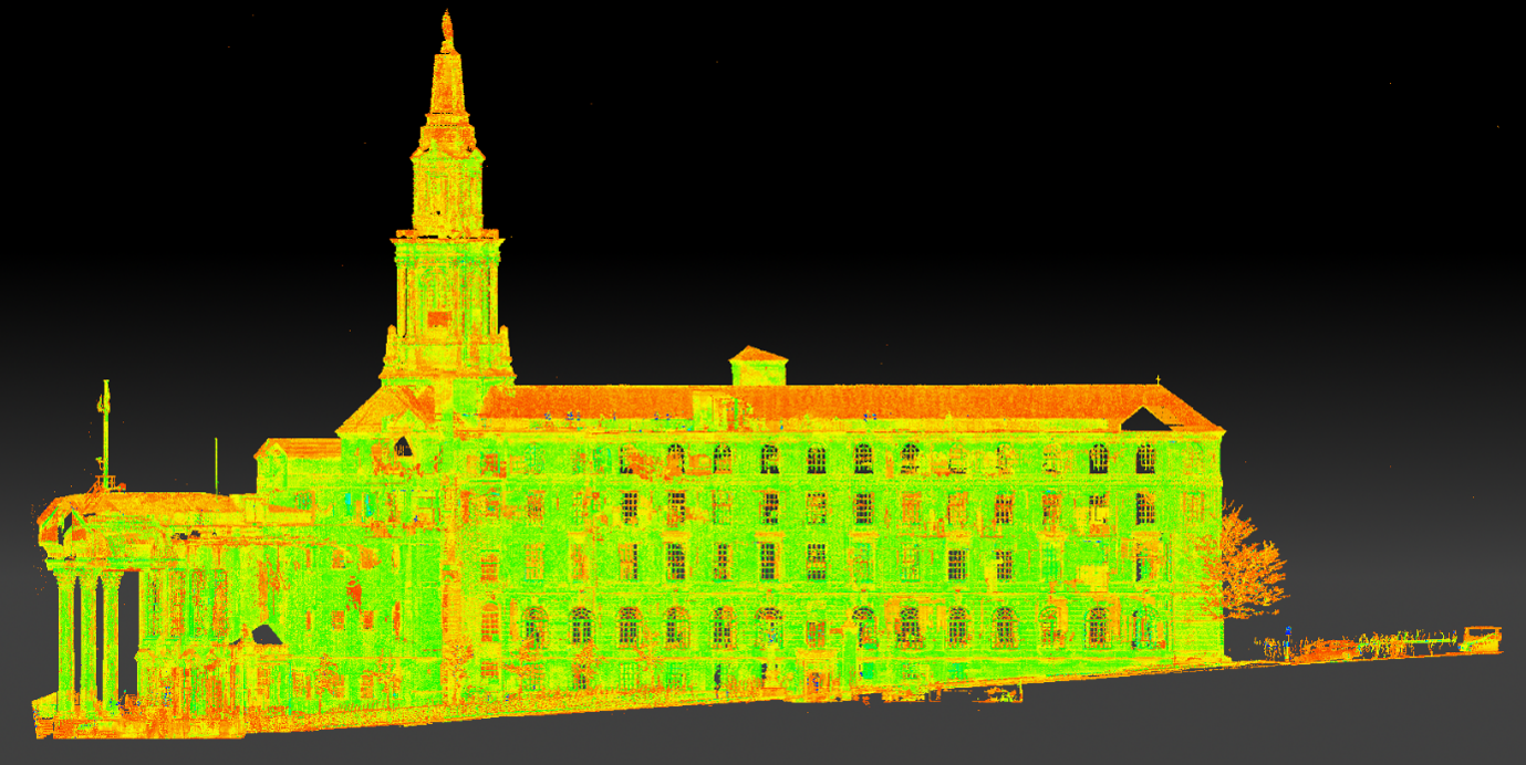
Laser scanning captures millions of accurately positioned measurements across the surfaces of a structure, creating a dense three-dimensional point cloud.
From this dataset it is possible to produce:
Photogrammetry provides a complementary approach by using overlapping photographs to reconstruct the geometry of an object, building or landscape.
One of its particular strengths is the ability to combine accurate three-dimensional geometry with high-resolution photographic information, producing detailed textured models and orthophotography.
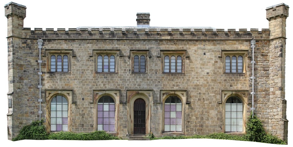
This can be especially useful for recording architectural details, masonry, decorative features, historic fabric and areas where condition needs to be documented visually.
The two techniques can also be combined.
Laser scanning may provide highly accurate overall geometry, while photogrammetry adds detailed photographic texture and records smaller-scale features. Together they can provide a comprehensive digital record of a heritage asset at a particular point in time.
This can be valuable for far more than creating attractive 3D models. The resulting datasets can support historic building recording, condition assessment, conservation planning, structural monitoring, restoration and interpretation.
They can also provide a permanent digital record before alteration or demolition takes place.
For complex sites, the survey can be linked directly with the wider geospatial and archaeological dataset.
A scanned historic building can be positioned accurately alongside topographical survey, archaeological geophysics, historic mapping and excavation results.
This is particularly powerful where the relationship between standing structures and buried archaeology is important. A surviving wall, for example, may continue below ground or relate to foundations identified through GPR. Historic phases visible within a building may correspond with buried structures in the surrounding landscape.
Rather than treating built heritage and buried archaeology as separate subjects, accurate three-dimensional recording allows both to be considered as parts of the same evolving archaeological model.
It is also important to understand modern features.
Utility mapping may initially seem unrelated to archaeology, but on development sites it can be extremely useful.
Buried services affect where archaeological trenches can safely be positioned, while modern drainage, services and previous excavations may explain anomalies identified during subsequent geophysical survey.
Understanding where the ground has already been disturbed can therefore be just as useful as identifying areas where archaeology may survive.
Good spatial control also allows information from different sources to be compared accurately.
Historic maps can be positioned against modern survey data. Geophysical anomalies can be related to surviving earthworks. Excavated trenches can subsequently be placed directly over the features identified by geophysics.
Laser-scanned buildings, standing remains and monuments can be incorporated into the same coordinate system.
The result is not simply a better plan. It is the framework that allows all of the evidence from the site — above and below ground — to be understood together.
And once that framework exists, we can begin looking beneath the surface.
Comments Off on Heritage & Archaeology – Stage 2: Building the Baseline