

Call 0113 2008 900
Call 0113 2008 900
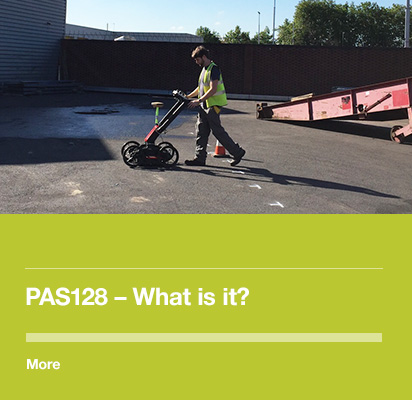
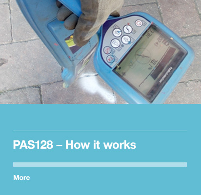
What is it?
The different survey categories translate to different Quality Levels (QL), with QL-D being assigned to information with the lowest confidence, and QL-A being assigned to information that has the highest confidence.
In between there are a range of quality levels associated with defined horizontal and vertical accuracies. This diagram shows the confidences associated with the various levels.
- IDENTIFY OWNERS PRESENT
- COLLATE UTILITY INFORMATION
- REPORT FINDINGS
Utility information taken from record data
Record information should be less than 90 days old
As-built plans and historic information should also be used where available
Least confidence (no depth information)
- OBTAIN LEVEL D SURVEY
- VISIT SITE WITH DETAILED PLAN
- ANNOTATE PLAN WITH SITE NOTES
Record information correlated to on-site features
A topographic survey will aid interpretation and drawing production
Low – Medium Confidence (no depth information)
- OBTAIN LEVEL D SURVEY
- AGREE DETECTION METHODOLOGY
- CARRY OUT SITE SURVEY
- LOCATE RESULTS USING SURVEY TECHNIQUES
- PRODUCE DRAWING & REPORT
Utilities detected by geophysical techniques using a set methodology
A range of confidence levels can be assigned based on the success of techniques used
Post-processing of GPR data can increase confidence in results and provide an audit trail
Medium – High Confidence – (depths of utilities can be detected if techniques successful)
- OBTAIN LEVEL D SURVEY (and C,B)
- AGREE LOCATIONS TO EXPOSE
- EXCAVATE
- RECORD FINDINGS
Utilities verified by exposure in an inspection chamber or trial pit
Multiple trial pits/ test holes can prove expensive
Often used to confirm results of a Type B survey
Best Confidence (highly accurate positioning)
- Clarity on what is being done and the methodologies being used.
- Consistency in approach so it is easy to compare like with like.
- Classification of results and a measure of the confidence placed on them.
- A standard format for deliverables, like reports and drawings.
- Accountability for the work undertaken.


©2015 Met Geo Environmental Limited. All Rights Reserved.

 500mm
500mm